Data analysis · Scientific software · Geophysics
Anang Sahroni
I build data pipelines, processing tools and dashboards for sensor and measurement data, from seismometers and magnetometers to the lab.

About
I’m a data analyst and software developer with a background in physics and geophysics.
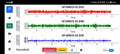
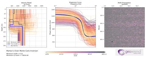
From 2020 to 2024 I built real-time data pipelines, REST back-ends and dashboards for sensor data from seismic and magnetic instruments at Geoseismal Research Center (Indonesia). As technical lead of TARSIUS, I designed the real-time pipeline from seismic stations to earthquake parameters (Python, Redis, PostgreSQL).
Since 2024 I have been analysing laboratory magnetometer data as a doctoral researcher at LMU Munich.
PythonNumPy · SciPy · PandasObsPyDjango REST FrameworkPostgreSQLRedisReactPlotly.jsBokeh · HoloViz PanelGitMATLABQGIS · ArcGIS
Selected projects
All projects →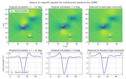
Experience
Full CV →- 2024 – today
Research Associate (Doctoral Researcher)
Ludwig-Maximilians-Universität München
Analysing and quality-checking laboratory magnetometer data with PCA and directional statistics (Fisher distribution) in MATLAB
- 2020 – 2024
Computational Software Engineer (part-time, 75%)
Geoseismal Research Center
Technical lead of TARSIUS: designed the real-time pipeline from seismic stations to earthquake parameters (Python, Redis, PostgreSQL)
- 2020 – 2022
Research Assistant
Universitas Gadjah Mada
Built a dashboard of earthquake statistics for Indonesia's provinces (Python, HoloViz Panel)
- 2019 – 2020
Disaster Risk Analyst
Ministry of Agrarian Affairs and Spatial Planning/National Land Agency, Indonesia
Spatial statistical modeling (weights of evidence) of natural hazards around the Palu Special Economic Zone, Sulawesi (ArcGIS, QGIS)